7‑Day Motorcycle Ride in Northern Thailand: Chiang Mai-Nan-Mae Hong Son
If you’ve just explored our roundup of the Best Motorcycle Routes in Northern Thailand, you already know this region is a dream for two-wheeled adventurers. From mist-covered mountains to historic border towns, the North is rich with both challenge and charm.
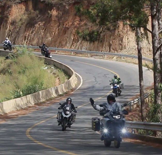
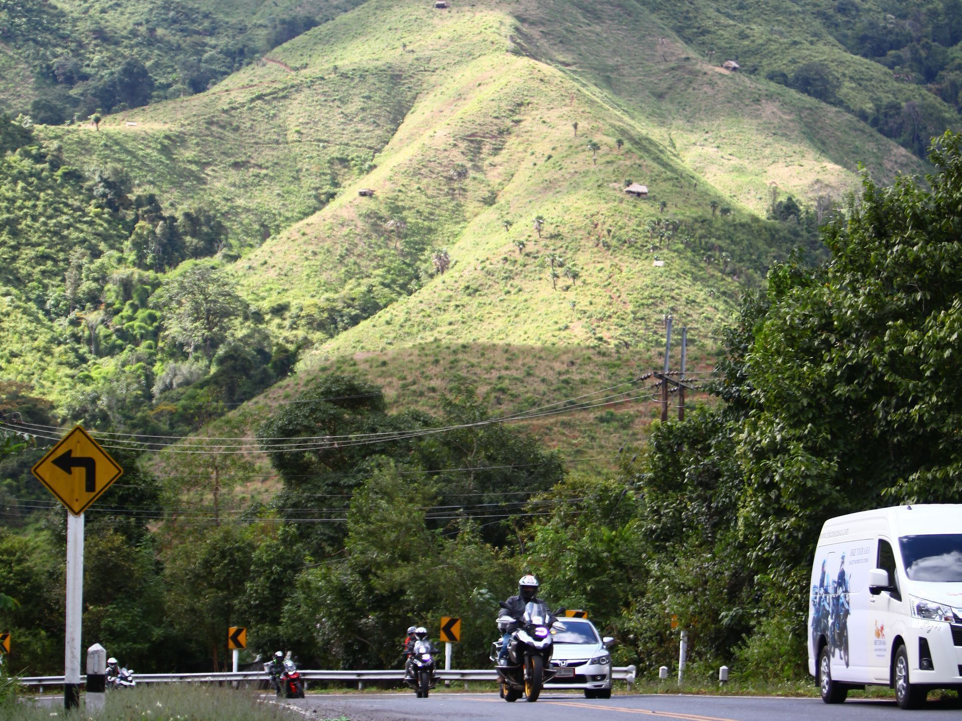
This ride doesn’t just stick to the loop. It dives deeper, weaving through Nan, Doi Phu Kha, Bo Kluea, and Doi Mae Salong before linking back through Pai and Doi Inthanon. Altogether, you're looking at well over 2,000 curves on this route, stacking up twist after twist across forested ridges and highland passes. The full Mae Hong Son Loop is part of this journey. It features 1,864 curves over 600 kilometers, making it one of the twistiest road trips in Asia. Just the stretch between Chiang Mai and Pai alone has around 762 curves in 100 km, earning it legendary status among motorcycle riders.
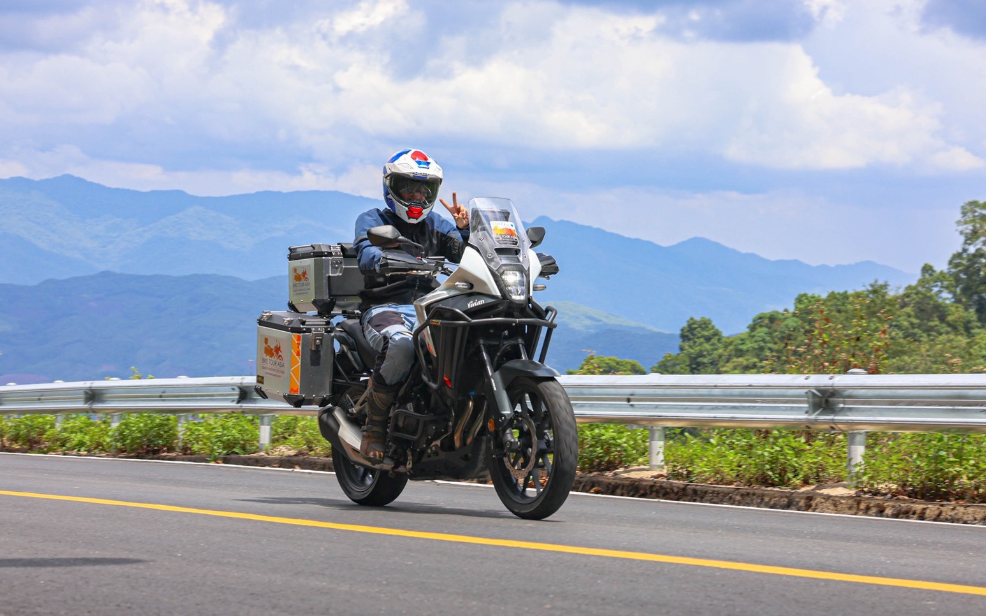
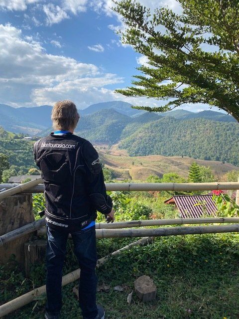
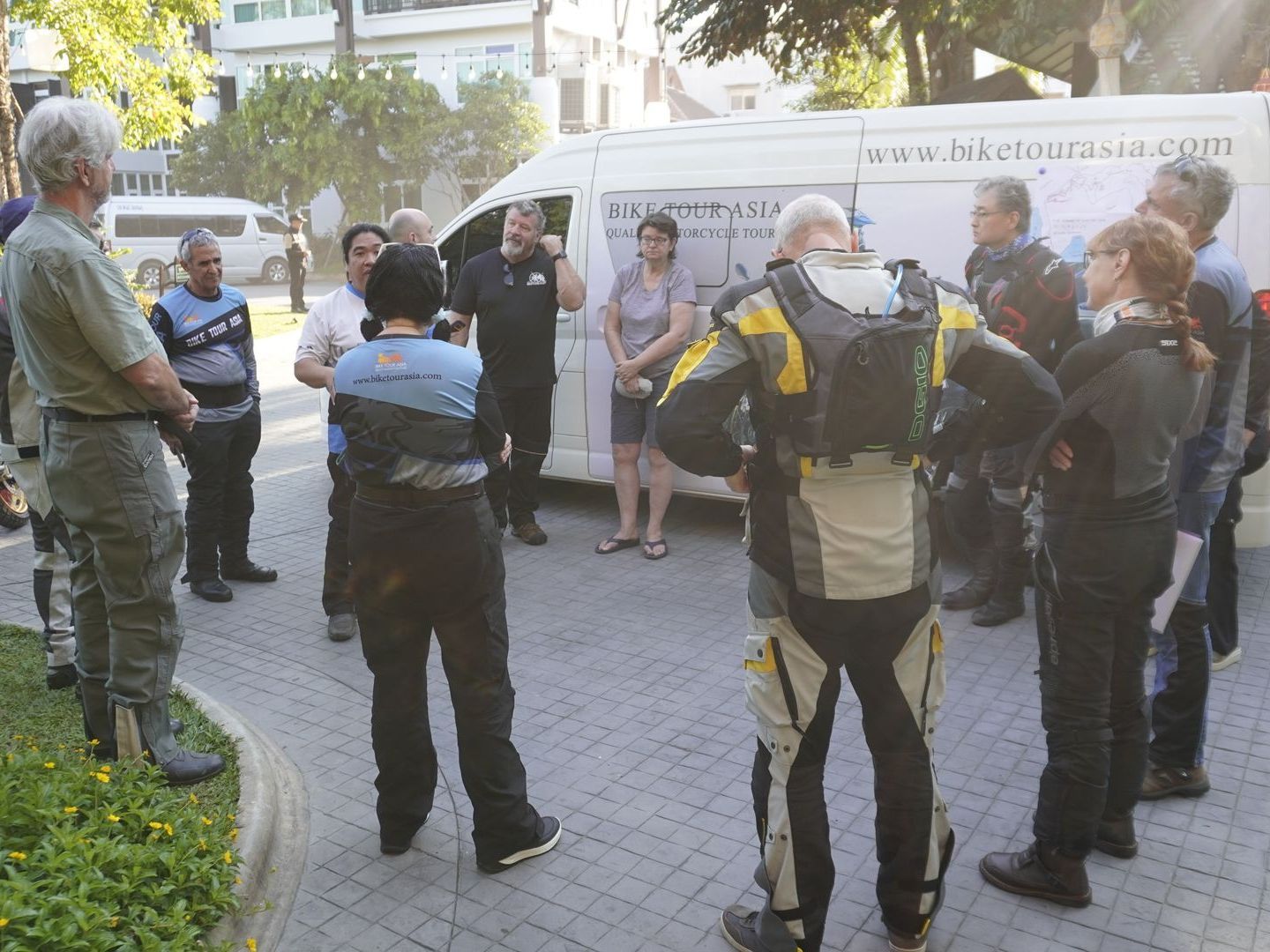
This isn’t just another map pin or highlight reel. It’s a first-person experience from Daniel, the owner of Bike Tour Asia, who has spent over a decade riding these routes. Strap in, because the road ahead is as unforgettable as the stories that unfold along it.
Overview
- Distance: ~1,200 km round-trip
- Duration: 9 days | 5–6 riding days
- Start/End: Chiang Mai
- Ride Type: Scenic roads, off-road segments, cultural immersion
- Best Season: November to March is the high season, perfect for riding. But the green season from June to October is also great for safe riding. It’s greener, a bit wet, but less crowded and comes with low-season prices. If you’re planning to visit during this time, just make sure to check the weather forecast in advance.
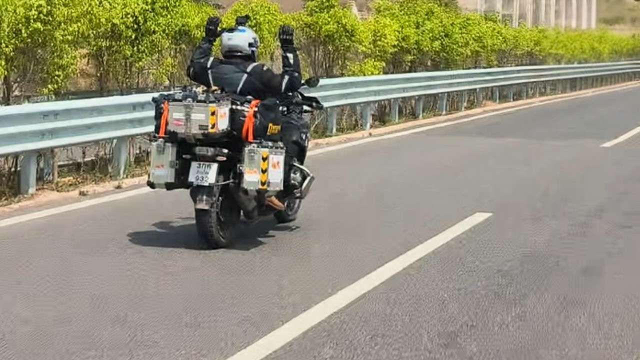
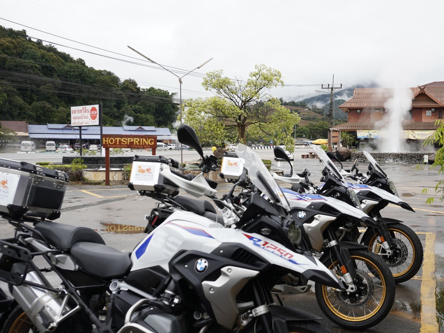
- Gear Tips: You can ride anything from scooters to big bikes like the BMW R1300 GS or Triumph TIGER 900 GT Pro. It’s up to you. The roads are in great condition. It’s always a good idea to bring a light jacket to protect yourself from the sun, wind, and mountain rain.
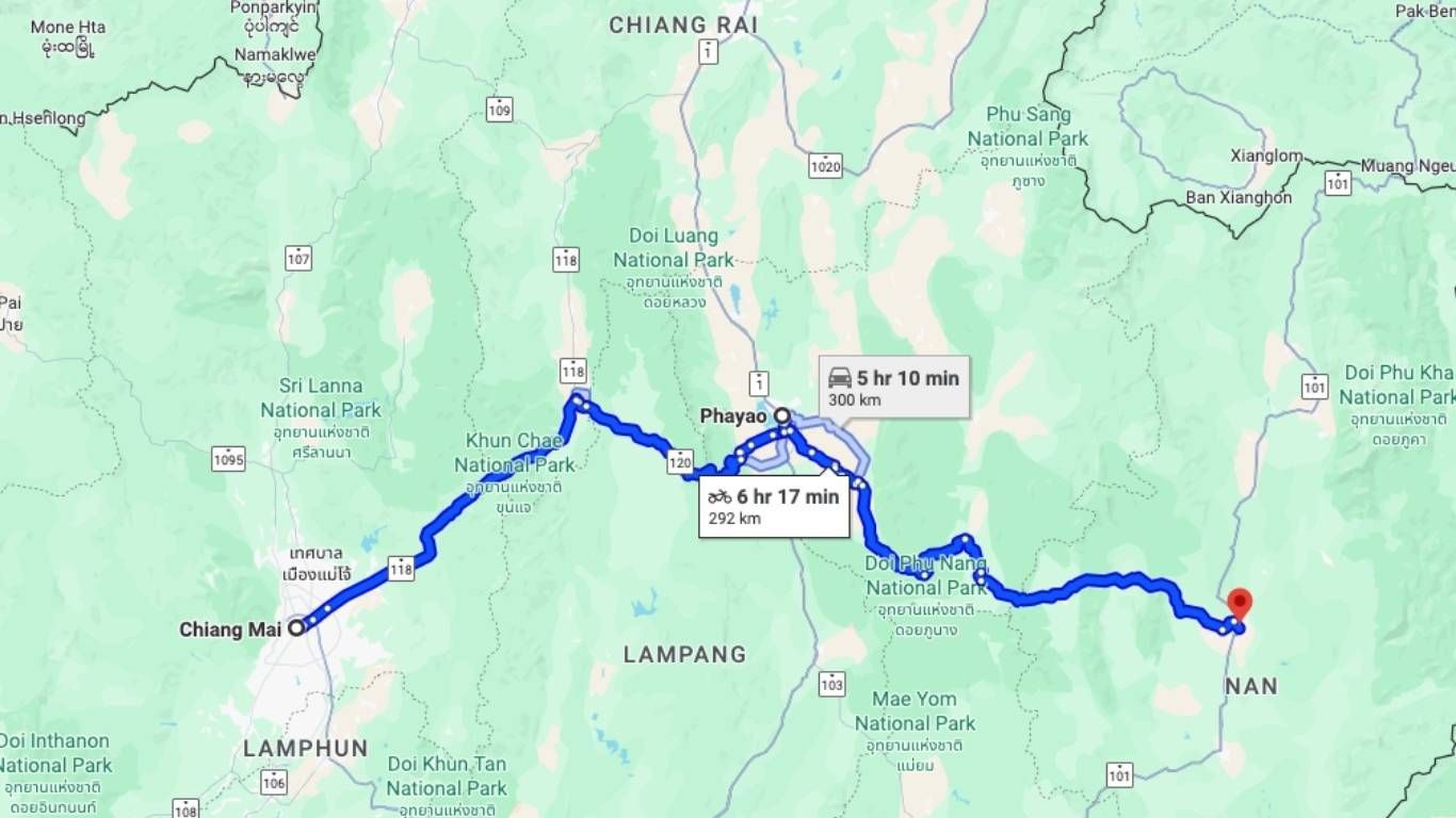
Day 1: Chiang Mai to Nan
Distance: ~300 km (Route 118 → Phayao → Routes 120 & 1021 → Nan)
Ride time: ~5–6 hrs
Elevation gain: ~1,800–2,000 m
Road surface: Fully paved, mix of highway & mountain curves
Fuel stops: 2. One in Phayao, and another before entering the remote stretch toward Nan.
Map Link:
Chiang mai to Nan Route
Your journey kicks off by heading northeast on Route 118, leaving Chiang Mai’s bustle behind as you carve through mountain foothills. You can stop for a scenic lakeside lunch in Phayao before continuing east via Routes 120 and 1021. The road becomes increasingly curvy and remote as you approach Nan, with panoramic mountain views and quiet farming villages along the way. Dinner by the Nan River wraps up your first full day on the road.
Tips:
Hidden viewpoint on Route 118: Shortly past the Mae Takhrai National Park entrance, look for rest areas beside the Mae Kuang River. It’s great for early-morning fishing or coffee stops.
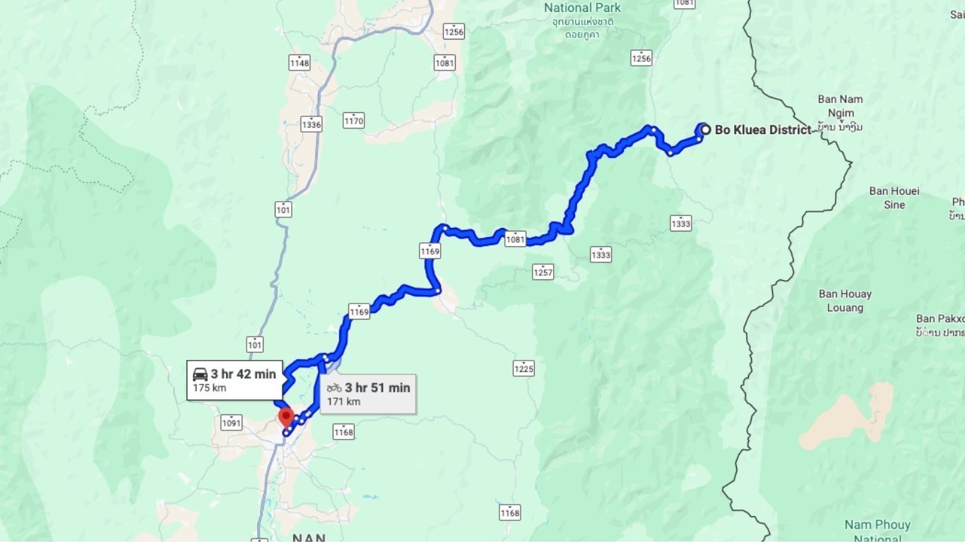
Day 2: Nan to Bo Kluea and back
Distance: ~210 km (Nan → Route 1081 → Bo Kluea → Route 1256 → back)
Ride time: ~4–5 hrs
Elevation gain: ~1,500 m
Road surface: Excellent tarmac on 1081 (sport-bike quality), minor roads on 1256
Fuel stops: 1 in Nan before heading out (no service near Bo Kluea)
Map Link:
Nan to Bo Kluea Route
Today is a loop ride through some of
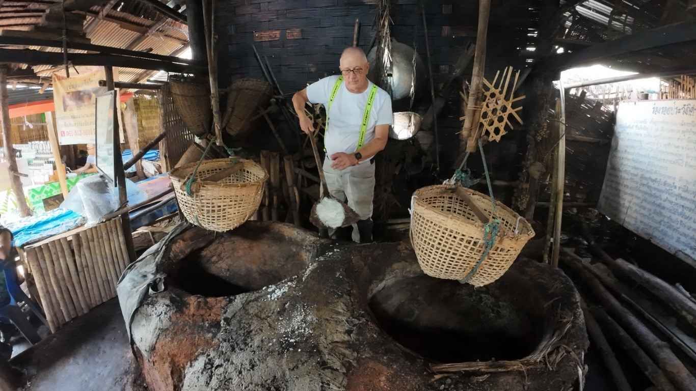
Thailand’s best mountain roads. You head east from Nan on Route 1081 toward the remote village of Bo Kluea, known for its traditional salt wells. These are naturally occurring brine springs formed in Permian-era rock layers, over 800 years old, drawing water enriched by underground salt domes. Villagers scoop the brine into large pans, boil it for 4–5 hours over bamboo fires, then crystallize and dry the salt to create coarse mountain salt that’s mineral-rich and non-iodized. Here you can explore the village and learn how the salt is made. If possible, go early between 6 AM and 10 AM when the air is cooler and you can watch the salt-making process in a calm, quiet setting.
Then return to Nan via the elevated and winding Route 1256, which passes through Phu National Park. End the day with a stop at Wat Phumin, famous for its murals. The most iconic is "The Whispering Lovers," or "Pu Man, Ya Man," showing a man leaning in to whisper into a woman's ear. It's one of the most recognized pieces of temple art in Thailand.
Tips:
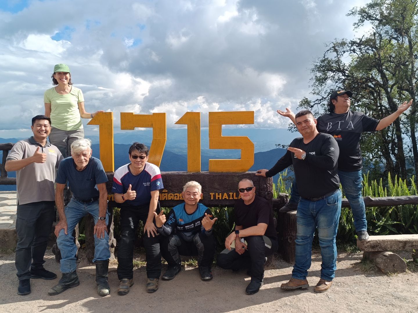
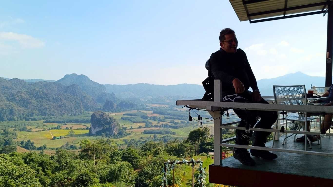
Offbeat attraction: Along Route 1256 through Phu National Park, take the “Sky Road” detour to a 1,715 m viewpoint with sweeping mountain views.
Waterfall stop: Silaphet Waterfall is a multi-tiered cascade hidden in the forest. It’s at its most beautiful between the rainy season and early winter.
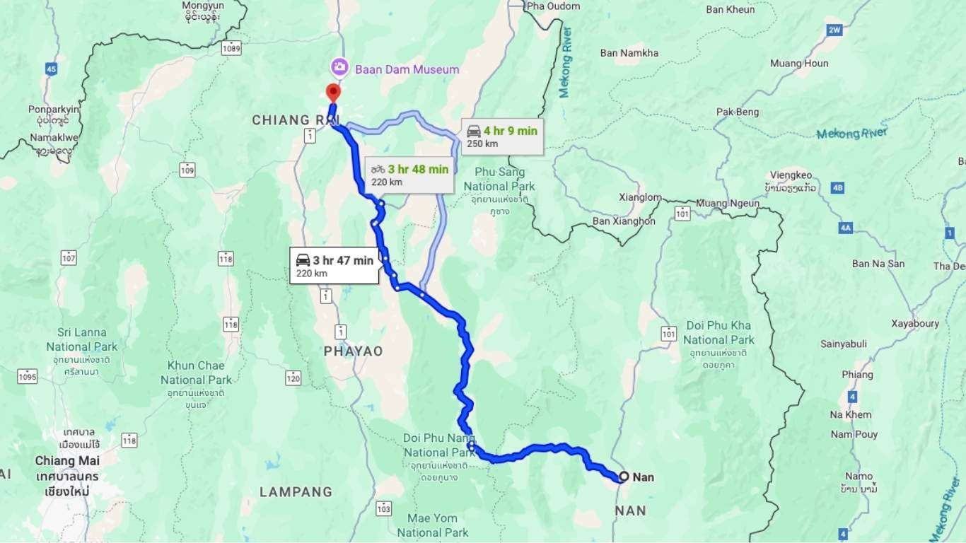
Day 3: Nan to Chiang Rai
Distance: ~250 km (Routes 101 → 1148 → 1020 → Route 1 into Chiang Rai)
Ride time: ~4–5 hrs
Elevation gain: ~1,200 m
Road surface: Paved, smooth sweeping curves (R1148 is world-class)
Fuel stops: 1 mid-route at highway junctions, plus Chiang Rai
Map Link:
Nan to Chiang rai Route
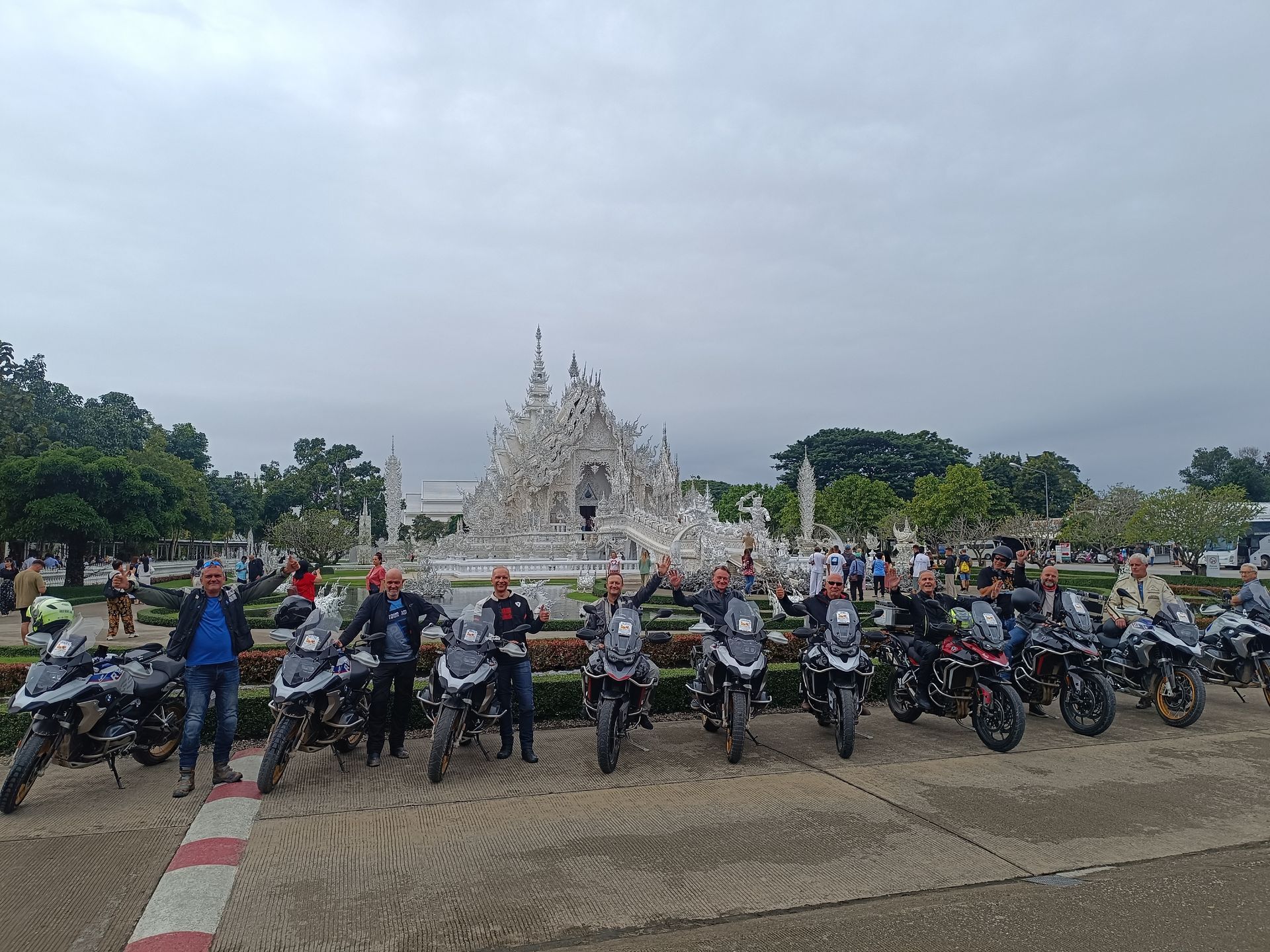
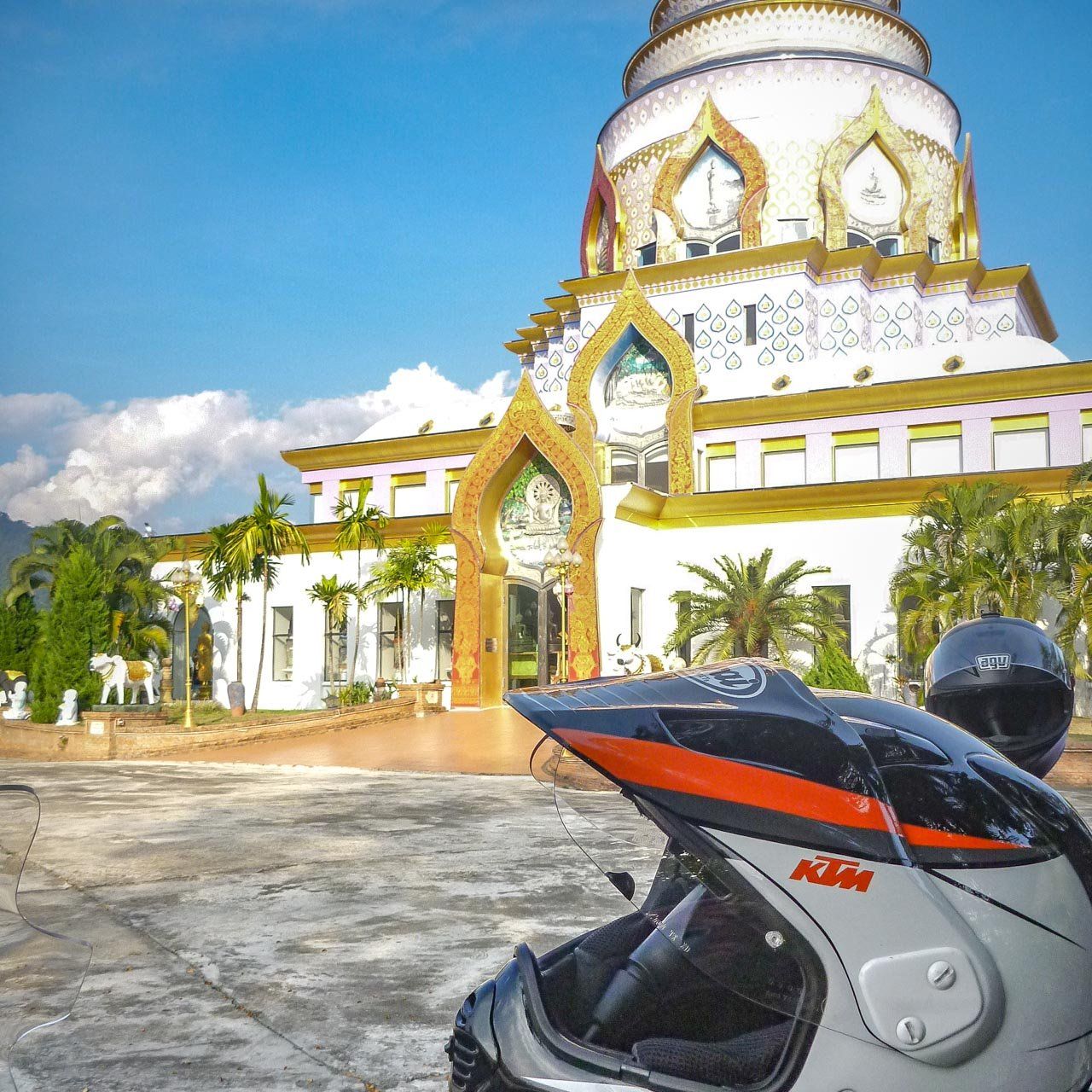
Depart Nan via Route 101 and turn onto the renowned Route 1148, a hidden gem favored by riders for its endless sweepers and ridge-line views. Continue onto Route 1020 through lush countryside and farmlands, then roll into Chiang Rai via Route 1. Stop at the jaw-dropping Wat Rong Khun (White Temple), a surreal, all-white structure that blends art, spirituality, and storytelling. This temple was built by Chalermchai, one of Thailand’s most famous artists. The design is full of symbolism, and if you ask a guide or talk to locals around the temple, they’ll tell you each detail has meaning. If time allows, check out the Blue Temple and the Black House as well. The Black House was created by another iconic Thai artist, Thawan Duchanee. His work explores the idea of life after death, and it’s a very cool experience to walk through.
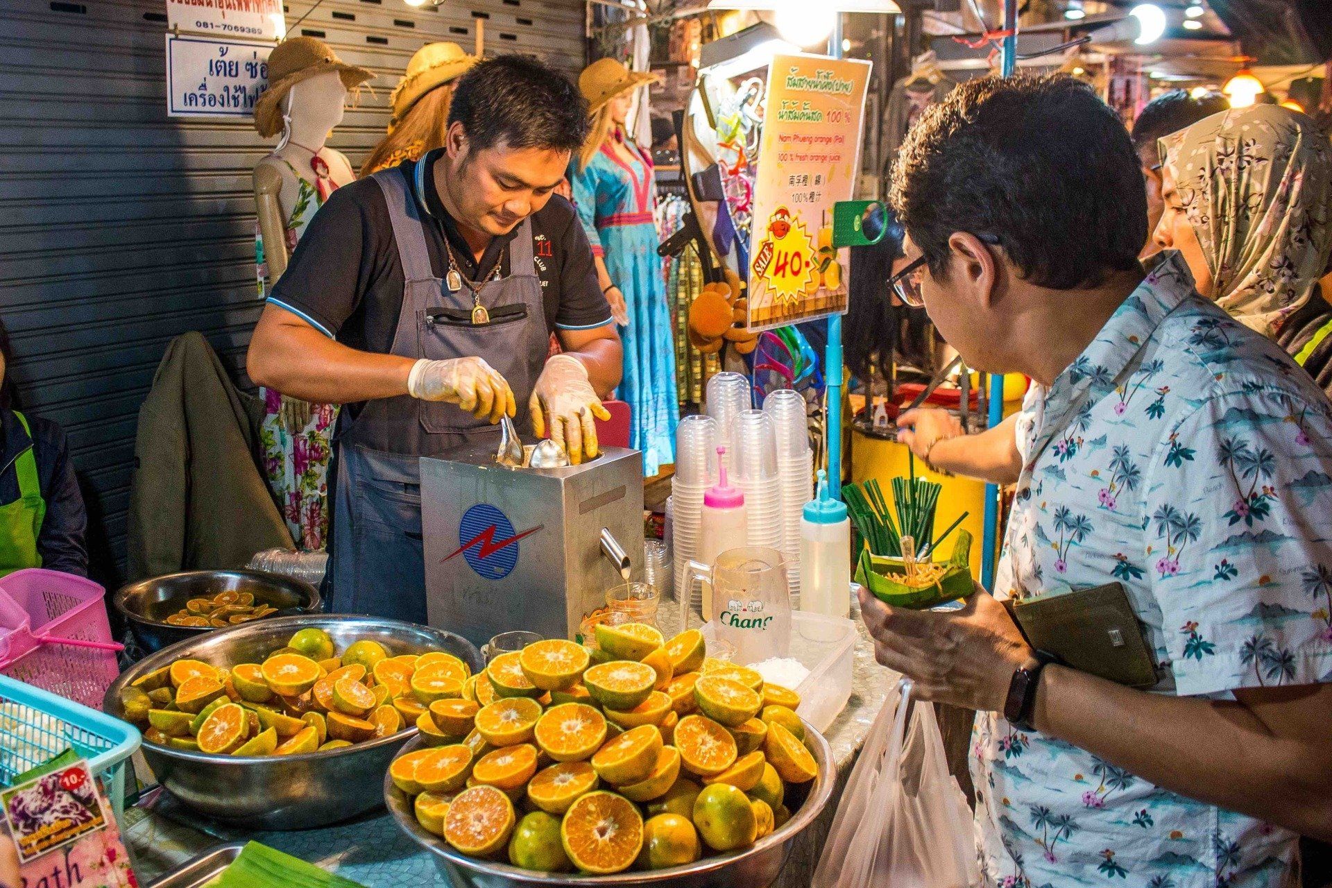
End the day by exploring the night market and staying overnight in Chiang Rai. For dinner, try Chiang Rai’s local dish, Kanom Jeen Nam Ngiao. It’s a tomato and pork blood-based noodle soup. It tastes way better than it sounds. Trust me.
Tips:
Hidden temple: Wat Ming Muang in Nan Old Town is known for its peaceful atmosphere and quiet murals. The same dress and behavior etiquette applies as at Wat Phumin.
Day 4: Chiang Rai to Thaton
Distance: ~220 km
Ride time: ~4–5 hrs
Elevation gain: ~800 m
Road surface: Paved major roads, smooth yet curvy
Fuel stops: Chiang Rai start + Thaton arrival
Map Link:
Chiang rai to Thaton Route
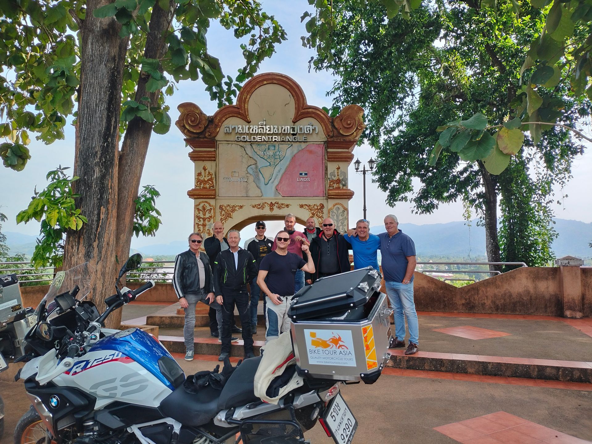
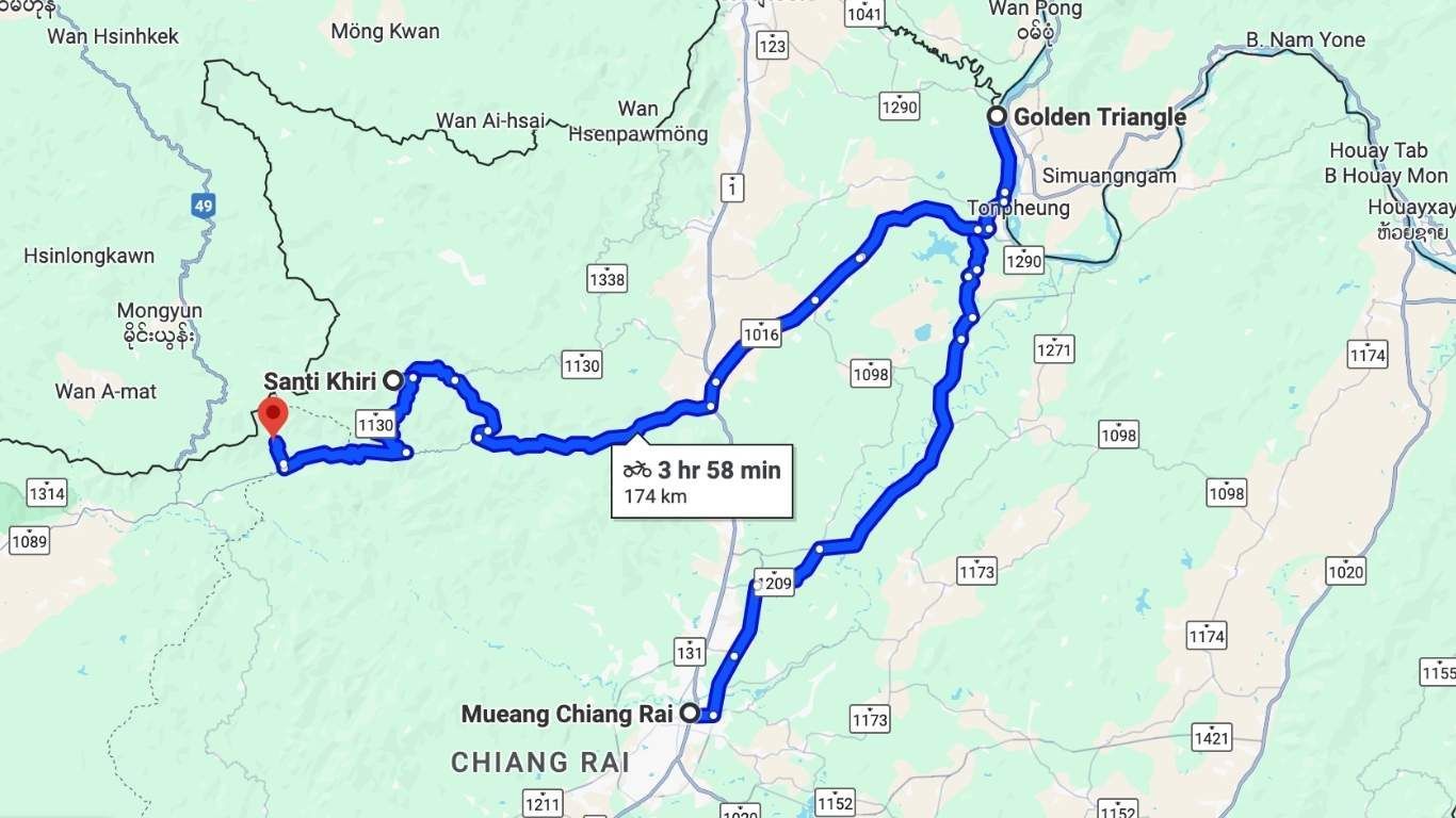
Ride north to the Golden Triangle on Route 1290, where Thailand, Laos, and Myanmar converge. Enjoy a boat trip on the Mekong River and a short visit to Laos (passport required). Back on your bike, continue west on Route 1 and climb into Doi Mae Salong via Route 1149, a former Kuomintang Chinese settlement known for tea plantations and Yunnanese heritage. The final stretch follows Route 1089 down into the tranquil river town of Thaton.
Tips:
When sampling tea, ask for rose–Pu’er blends served lakeside. It’s less touristy than the main shops.
Rose–Pu’er is a smooth, earthy Chinese tea blend infused with fragrant rose petals. It’s popular in northern Thailand’s Yunnanese villages like Ban Rak Thai and Doi Mae Salong. If you miss it here, you can still try it in Pai or Mae Hong Son.
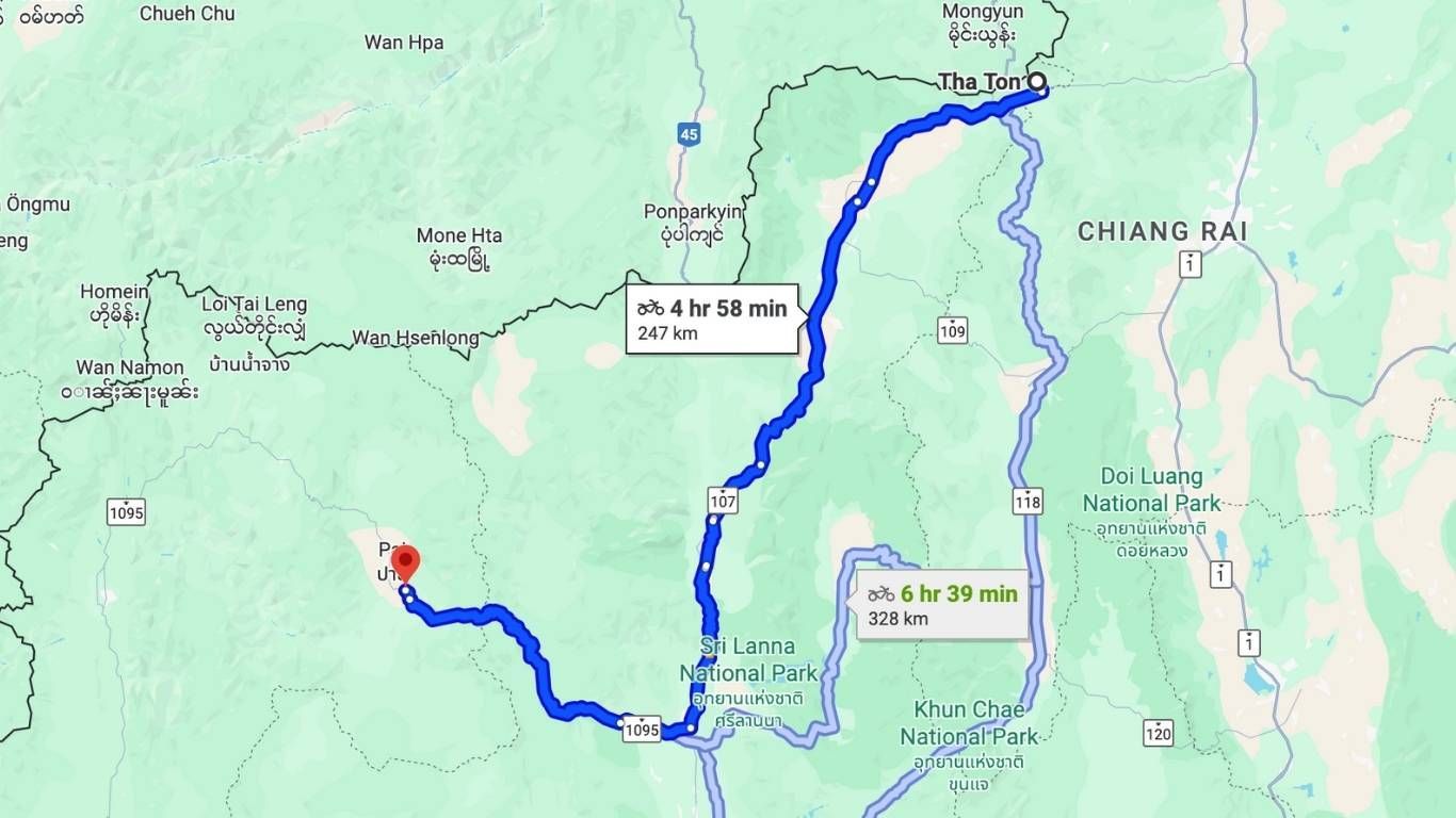
Day 5: Thaton to Pai
Distance: ~240 km (1089 → Hua Luk → Route 1095 to Pai)
Ride time: ~5 hrs
Elevation gain: ~1,500 m
Road surface: Excellent twisties, Chinese camp dirt access
Fuel stops: Thaton, Hua Luk, then Pai
Map Link: Thaton to Pai Route
Begin the day with a visit to Wat Thaton, a hilltop temple with a 9-tiered pagoda offering stunning panoramic views of the Kok River valley and misty mountain ranges. It’s especially beautiful at sunrise, with soft light and a peaceful atmosphere. Then head south along Route 1089 through rolling farmland and the Hua Luk Royal Project. After lunch near Mae Tang, turn west onto the famously twisty Route 1095. This is where the
Mae Hong Son Loop truly begins, with exactly 762 curves between here and Pai.
Before arriving in Pai, make a stop at Thom’s Pai Elephant Camp. This is not just any elephant camp. It’s home to rescued elephants, including Tutdao and Ot, where riding is not allowed. Instead, visitors can walk, feed, bathe, and connect with the elephants in a calm, respectful setting. The camp is often praised as ethical and family-like.
Once in Pai, take time to relax. You’ll find a lively night market, plenty of cafes, and restaurants with both local and international food. For those looking to unwind, try the herbal steam room in Russian style at Good Life Dasha. You can also check out the Finnish-style sauna at Pai Lamun Valley or soak in the hot mineral pools at Tha Pai Hot Spring.
Tips:
Offbeat trail: Near Hua Luk Royal Project, there’s a short dirt track that leads to local strawberry farms. It’s a great spot to refresh and support local growers.
Chinese village: Just outside of Pai, visit the small Yunnanese village where you can try traditional Chinese-Yunnan food and sip Rose–Pu’er tea. Go early to Yun Lai Viewpoint for a chance to see the morning sea of clouds.
Nature stops: For quick side trips, check out Pambok Waterfall, Mae Yen Waterfall, the White Buddha viewpoint, or Pai Canyon for sunset.
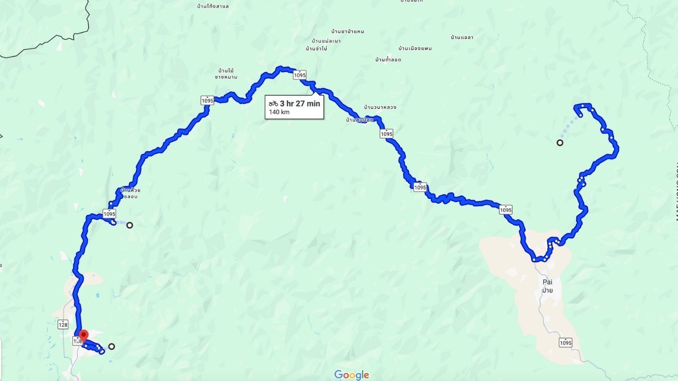
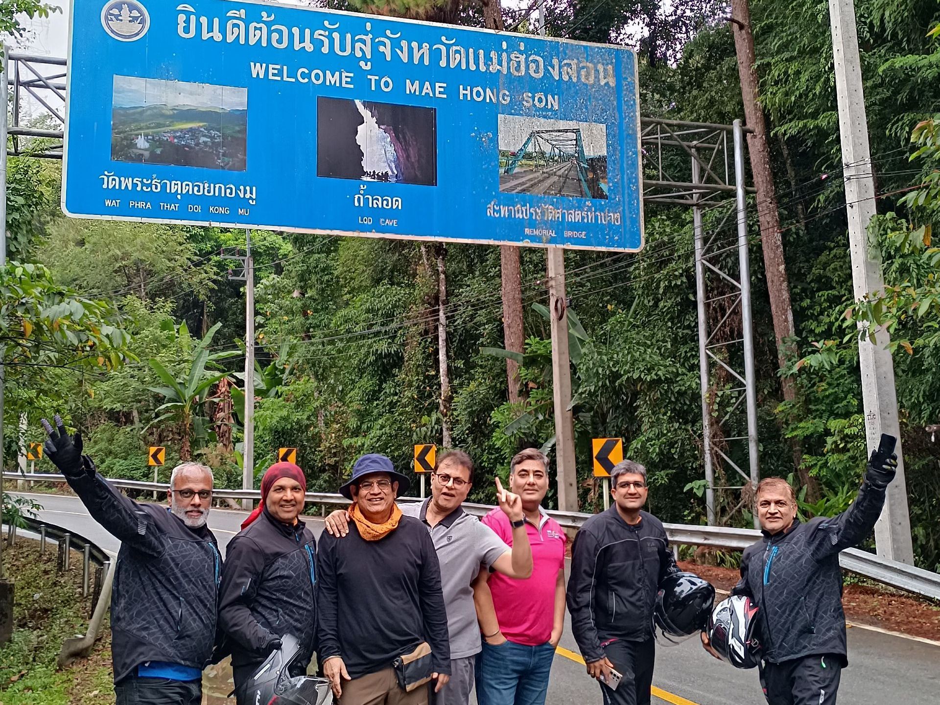
Day 6: Pai to Mae Hong Son
Distance: ~180 km (continuing on 1095 → Ban Rak Thai → Karen village → Mae Hong Son)
Ride time: ~4 hrs
Elevation gain: ~1,000 m
Road surface: Paved mountain hairpins
Fuel stops: Pai & Mae Hong Son
Map Link:
Pai to Mae Hong Son Route
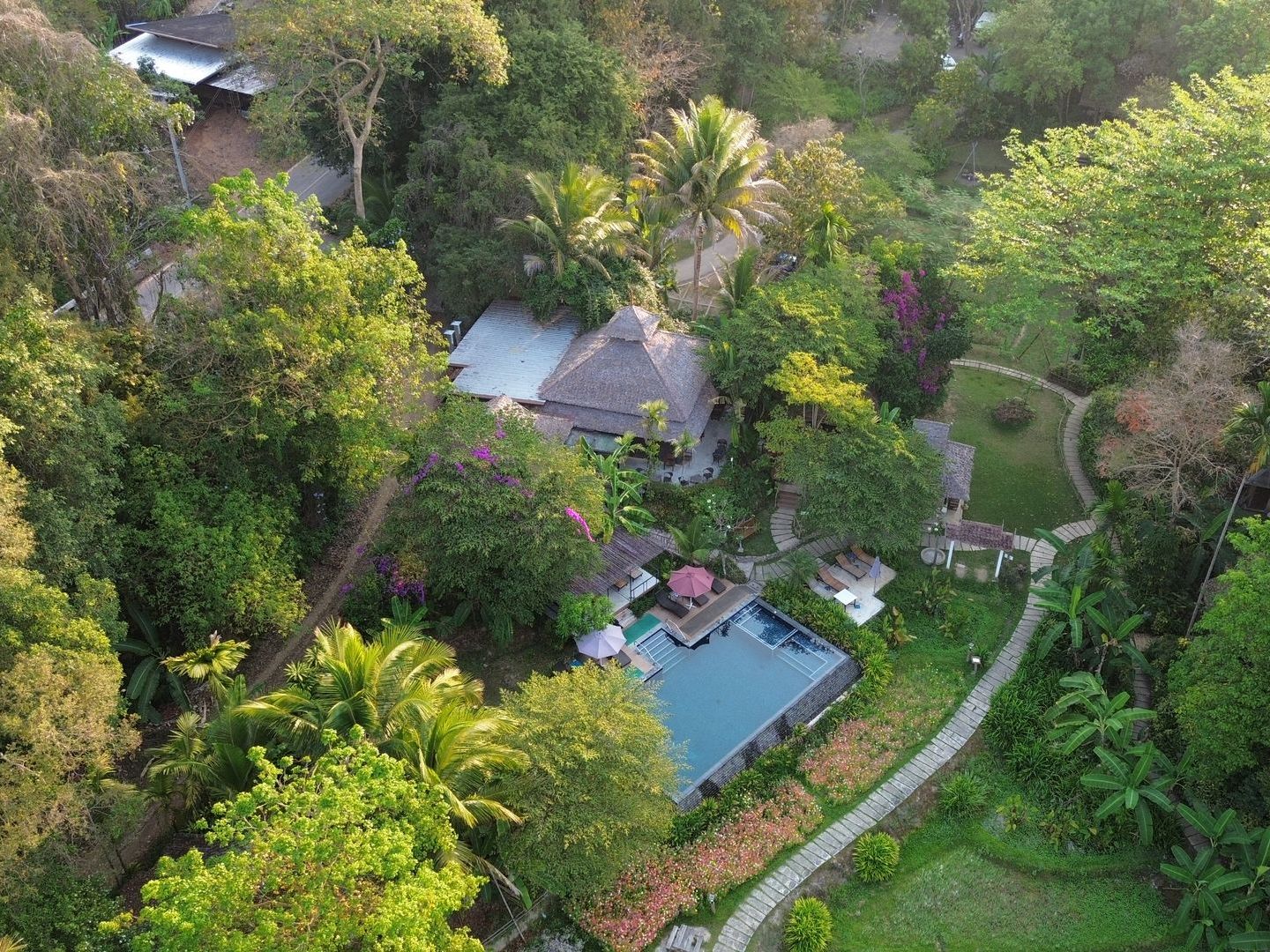
The road tightens as Route 1095 snakes its way through dense forests and mountain ridges. After a stop at scenic viewpoints, ride into the Chinese village of Ban Rak Thai for a lakeside Yunnanese lunch. Then continue to the Pai River for a boat trip to the Karen Long Neck village, where cultural exchange meets stunning backcountry views. End the day with a sunset drink overlooking rice paddies near your Mae Hong Son resort.
Tips:
Off-the-grid stop: Between Pai and Mae Hong Son, pause at a small viewpoint near the river where local Karen women sometimes offer traditional handwoven crafts.
Village gem: Ban Rak Thai is a compact Yunnanese hamlet known for lakeside tea cafés. Try rose tea or homemade Pu’er while looking out over the water.
Campsite: Pang Oong is a popular camping spot among Thai travelers. The lake view, morning mist, and wildlife make it worth staying an extra night.
Relax spot: Phu Klon Country Club offers a natural mud spa where you can soak and unwind.
Nature stops: Add a visit to Tham Lod (Nam Lod Cave), Doi Kiew Lom Viewpoint, Fish Cave, or Namtok Pha Suea National Park if time allows.
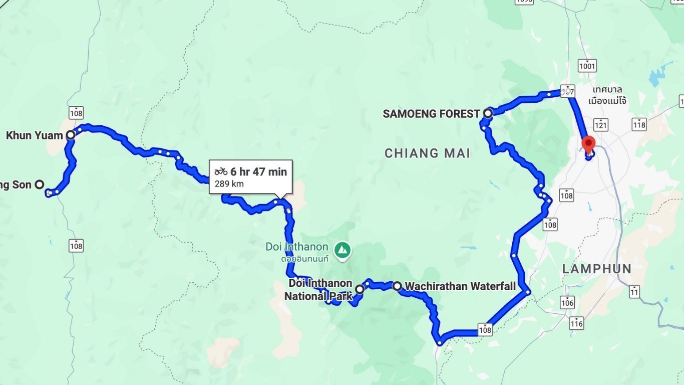
Day 7: Mae Hong Son to Chiang Mai
Distance: ~300 km (108 → 1263/1192 → Doi Inthanon summit → waterfall & descent via Sameong Loop→ Chiang Mai)
Ride time: ~6 hrs
Elevation gain: ~2,500 m ascent to summit, then descent ~2,500 m
Road surface: Paved, national-park routes
Fuel stops: Mae Hong Son, Khun Yuam, highway bottom before Chiang Mai
Map Link:
Mae Hong Son to Chiang mai Route
The final leg begins on Route 108 through Khun Yuam, where you’ll visit the WWII Japanese museum. From there, wind your way over Route 1263 and 1192 to the summit of Doi Inthanon—Thailand’s highest mountain at 2,565 meters. After a refreshing stop at Wachiratharn Waterfall, descend through Doi Inthanon National Park and complete the journey with a golden-hour return to Chiang Mai via the Sameong Loop.
Tips:
WWII museum hidden trove: At the Khun Yuam Japanese Cemetery and small museum on Route 108, you’ll find rarely seen stories of Japanese soldiers and WWII refugees in northern Thailand.
Waterfall tip: Wachiratharn Falls is most powerful from July to October, right after the monsoon rains. During dry months, it slows to a light flow. Still, it’s one of my favorites—it’s huge and dramatic when flowing.
Hidden temple detour: On the Sameong Loop, take a short access trail to Wat Ton Kwen in Hang Dong. It’s a peaceful spot with classic Lanna architecture and very few tourists.
More ideas nearby: Wat Phra That Doi Kham is also worth a visit for its hilltop views, and Chiang Mai Night Safari in Hang Dong is an easy end-of-day stop if you still have energy.
Bonus Highlight: Doi Mae U-Kho’s Sunflower Sea
(Seasonal: November only)
Near Khun Yuam, over 500 acres of
golden Bua Tong (Mexican Sunflowers) bloom in brilliant unison. At 1,600 meters above sea level, this seasonal spectacle captures the spirit of Mae Hong Son—bright, fleeting, and deeply memorable.
What are you waiting for?
This ride isn’t just about reaching Mae Hong Son. It’s about everything in between. The winding roads, quiet villages, and mountain sunrises turn every day into a new story. If you’re looking for more than just a road trip, this journey delivers.
Two wheels, one unforgettable adventure.
If you don’t have time to plan it all yourself, or just want some expert help along the way, reach out to Bike Tour Asia. Our team has been riding these routes for over a decade. Whether you’re looking for a guided tour, route support, or just want to rent a big bike and ride, we’re here to help make it happen.
MORE FROM THE RIDER BLOG